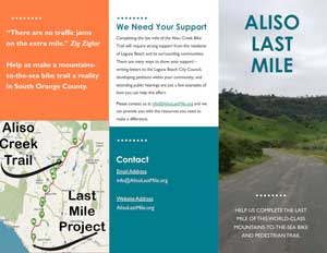
Aliso Last Mile
Voice your support for the Last Mile of the Aliso Creek Trail to the Pacific Ocean
Voice your support for completion of the Aliso Creek to Aliso Beach Trail.
Only a mile to go!
Only One Mile Left
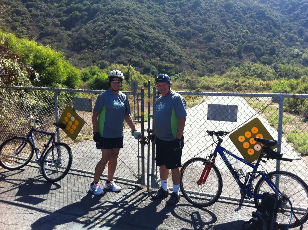
This hiking and cycling trail starts way up at the end of El Toro Road Near Cooks Corners. It follows Aliso Creek down, past Laguna Woods, and ends at The Ranch’s golf course, just short of a mile from the ocean. Currently, the last mile is blocked off to pedestrains and cyclist.
The Aliso Creek Trail is also fed by a network of additional cycling trails throughout South Orange County that is over 30 miles of paved, graded, class 1 trail. It runs through the incredibly scenic Aliso and Woods Canyon Wilderness areas. It is a multi-use trail that is also available to families and mobility-impaired uses.
The Coastal Commission specified this last mile would be a “Cycling and Pedestrian trail”, as is the rest of this amazing network.
The whole trail network would be greatly improved by finishing the last mile.
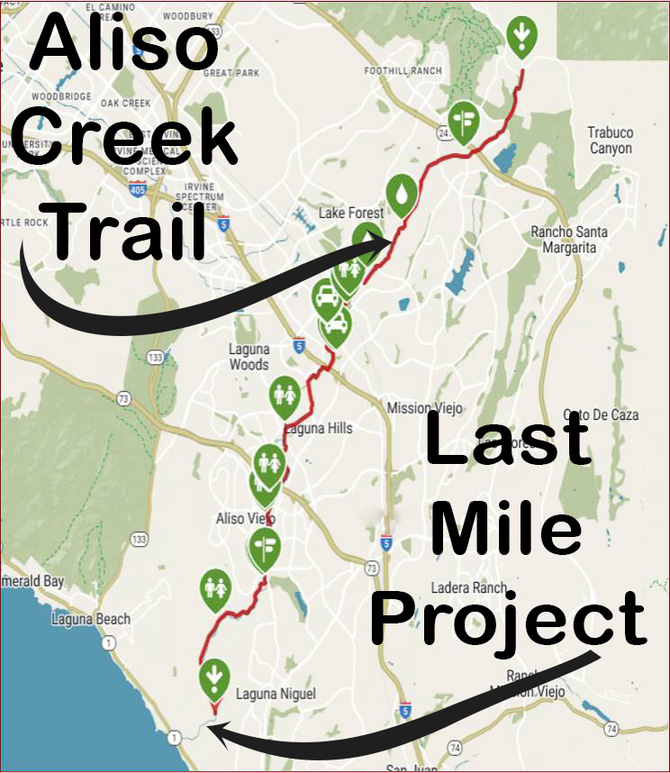
The existing trail network is extensive
This trail network is within one mile of being a true “Mountain to Ocean” bike and hiking trail. This network serves both the Aliso Canyon and Woods Canyon wilderness areas, as well as several county parks and 14 city parks in South Orange County.
All of South Orange County would be well served by completing this last mile to the Aliso Beach.
Be In The Know:

Spread the Word:
- Watch for the petition that we will be circulating early November to build public support for the Last Mile.
- Please let your cycling and hiking friends know about this opportunity to open the gates on the Aliso Last Mile…… AlisoLastMile.org
- Print a few copies of the Introduction Sheet, then pass them out to your cycling and hiking friends. Also, remind them to sign up for our updates.